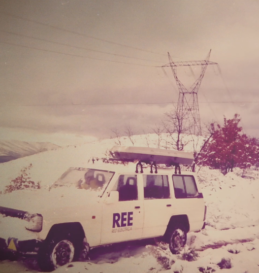
For 40 years, we've been driving our country's economic and social progress. Four decades shaping Spain.

- Renewable energies contribute 42.8% of total production
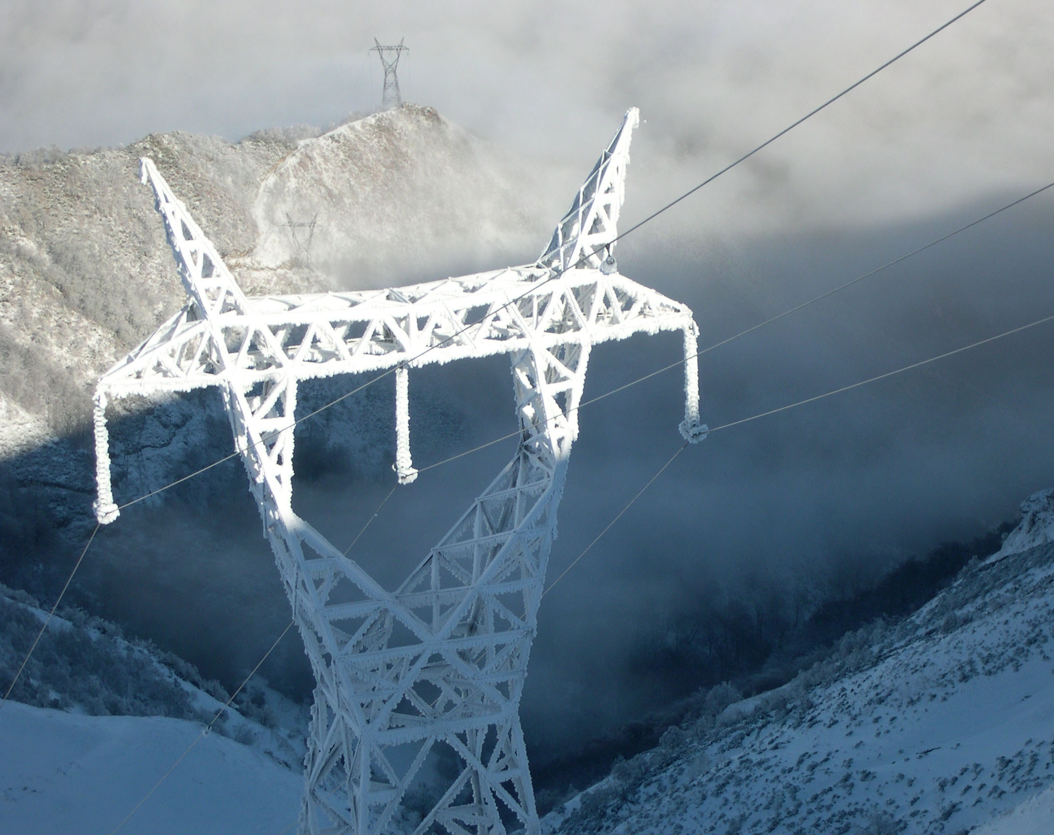
- The Spanish Peninsula-Balearic Islands interconnection allowed 23.2% of the Balearic Island demand
The electricity consumption of large and medium-sized companies in the month of November grew 2.7% compared with the same month last year, according to data from the Red Eléctrica Index (IRE).
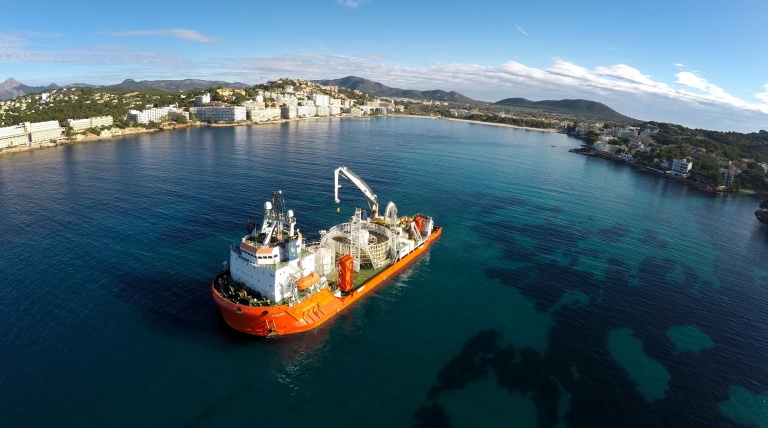
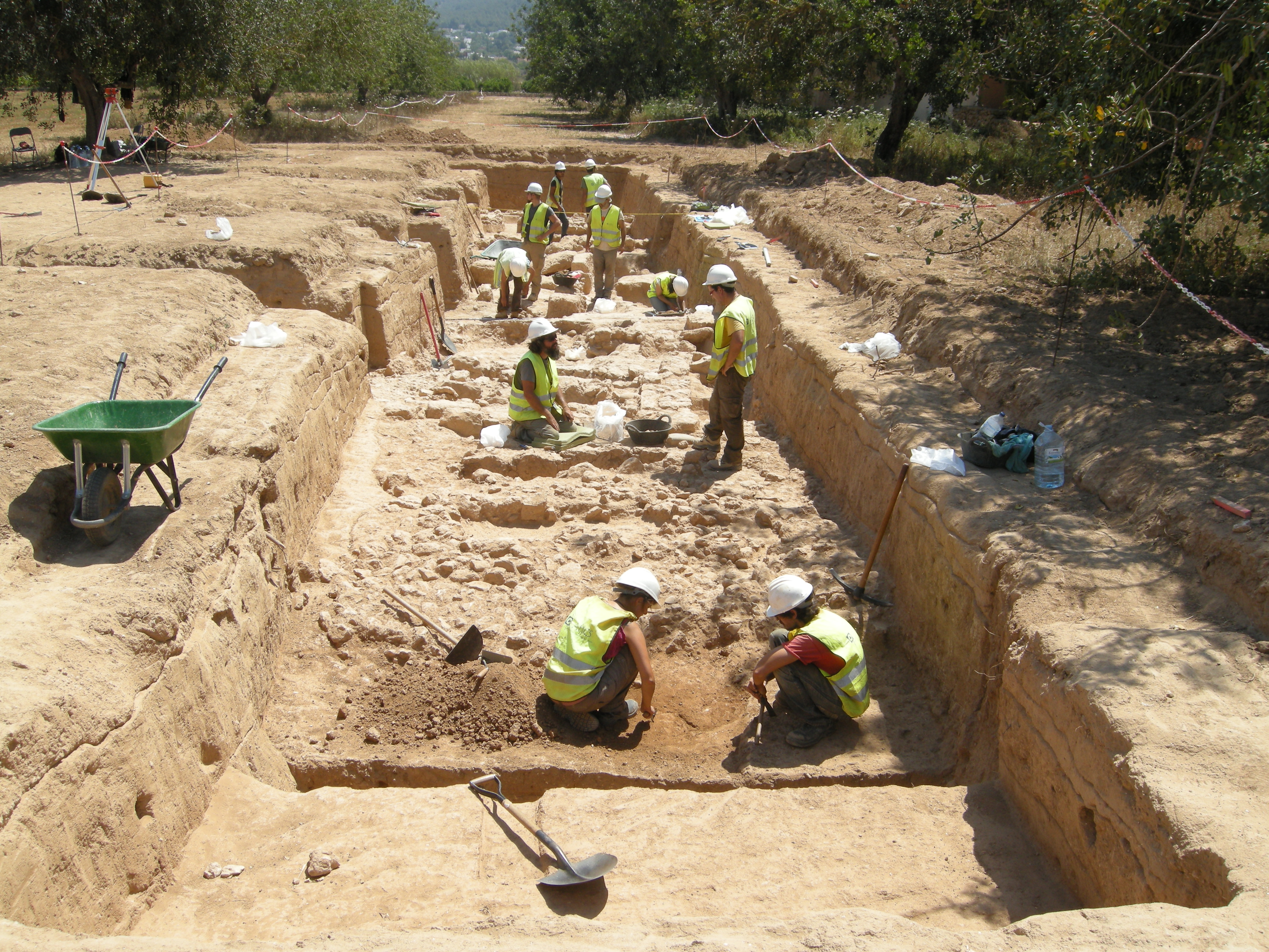
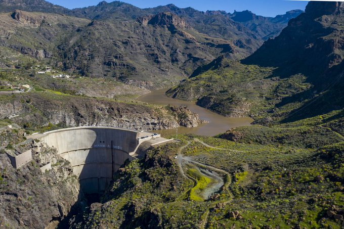
Red Eléctrica de España today concludes the coastal works, in the Bay of Santa Ponsa (Majorca), related to the laying of the second cable of the electricity interconnection between Ibiza and Majorc

Brochure about the project ‘Birds and power lines: Mapping of bird flight paths’. Red Eléctrica de España has won the European Business Awards for the Environment 2014 in the special category ‘Business and Biodiversity’, for its project ‘Birds and power lines: Mapping of bird flight paths’.

In 2013, Red Eléctrica signed a collaboration agreement with the Government of Aragon to be get to know more about and map the territories used by this species for foraging.
Red Eléctrica de España (REE) and Réseau de Transport d'Electricité (RTE), operators of the electricity systems of Spain and France respectively, yesterday allocated the electricity exchange capaci

In 2011, the Government of the Balearic Islands launched the Bonelli’s Eagle reintroduction plan in Majorca, a project in which Red Eléctrica, in collaboration with other entities, has contributed to the release of juvenile eagles, transferred from other Spanish regions.
The demand for electrical energy on the Spanish peninsula in the month of November, after having factored in the seasonal and working patterns, fell 0.9% with respect to the same month
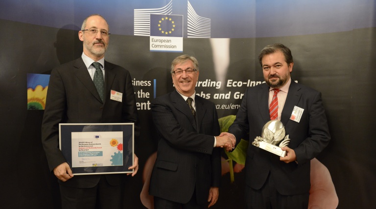
Red Eléctrica de España (REE) has won the prestigious European Business Awards for the Environment 2014 in the special category ‘Business and Biodiversity’, for its project ‘Birds and power lin
Red Eléctrica de España has been selected to be part of the Euronext-Vigeo sustainability indexes, after the last biannual update released recently.