Discover what Red Eléctrica is, what we do, and why we are the backbone of the electricity system in Spain and the ecological transition.


Route design
Route design
We design our new infrastructure after carrying out a detailed environmental study of the site where it will be located. This means that we can avoid the main environmental determinants and adapt our line routes and the placement of our sub-stations.

Different design

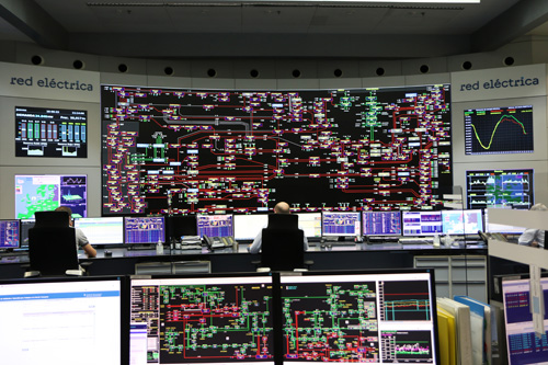
Use of the most cutting-edge geographic technology, on which our Corporate Geographic Information System (GeoRED) works.
Red Eléctrica uses a method that makes the design of our facilities distinctive. We use all impact mitigation tools available (avoidance, mitigation, restoration and compensation) until we end up with the best possible project. The most suitable way to group these impact reduction strategies together is through the environmental impact studies we perform in all our projects for new facilities.
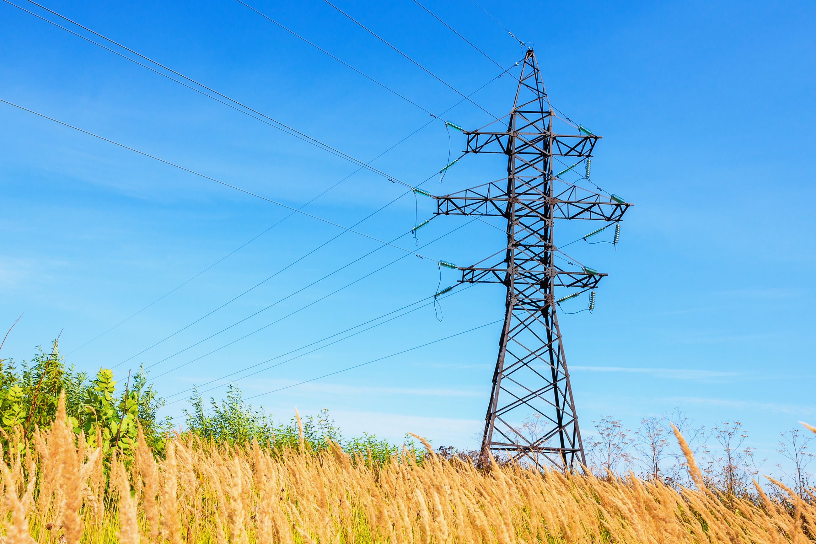
We define the route of our electricity power lines by using a uniform method with the premise of achieving excellence in all three phases, the diagnosis, the design with the least effect and the analysis of alternatives. This is why we have:

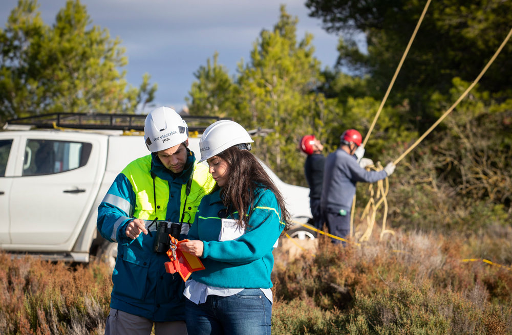
We work with the foremost experts in the natural world to provide the foundation of our territorial analyses.
- Our environmental technicians mark out a large section of land so that we can study all potential alternative routes and take environmental, social, technical and financial aspects into account.
- Expert environmental consultants study this site and prepare a Territorial Diagnosis and a Land Use Capacity Map (LUCM) which weighs up all the environmental factors. This shows us clearly which zones have fewer environmental restrictions for a new electricity line. Other determinants including physical aspects (relief, hydrology, erosion, etc.), social and economic aspects (cultural heritage, high yield crops, recreational areas, etc.), and the landscape are also considered in the LUCM.
Our environmental professionals go ahead in the design of facilities to avoid potential environmental impacts.
- Based on all previous information and experience, our in-house experts design of three alternative routes. These routes must be free of valuable natural, social and cultural elements or landscapes.
- Within these corridors, the layouts and accesses of future power lines are designed, and our professionals approve this route and the implementation of the auxiliary elements and access.
- The “Annual Wildlife Cycle Study” is run in parallel to provide the most accurate updated information about the wildlife in the area.
We try to ensure the best analysis of potential alternatives to ensure that we avoid any potential damage, where possible.
Based on the territorial diagnosis and annual wildlife cycle study, our expert environmental consultants will analyse the three alternatives from an ecological perspective to choose the one which has the least impact.
- We can rely on a battery of indicators to enable us to compare these alternatives in quantitative and qualitative terms.
- We design preventive and corrective measures and finally make an environmental impact assessment.
- Residual impacts on biodiversity that are identified after the application of the measures will be compensated. There are two approaches to this, Habitats and Wildlife.
All our environmental analyses are carried out with the use of the latest geographical technology available, which is employed by our Corporate Geographical Information System, called GeoRED.
We have created a specific module (INGEOIN) to add the geographical aspect to our projects. This means that we can cover the whole life cycle of the project, as we can manage all stages.
- Environmental analysis of alternatives
- Engineering project design
- Generation of lists of affected Properties and Rights.
- Obtain permission for the affected sites.
- Physical progress of the construction.
This process enables us to create land use capacity maps for our new facilities and carry out advanced analyses and 3D simulations to analyse the impact on the landscape.
This procedure can also validate the route and accesses to the different sections and enable the analysis of alternatives with automatic generation of geographical indicators.


- prev
- next
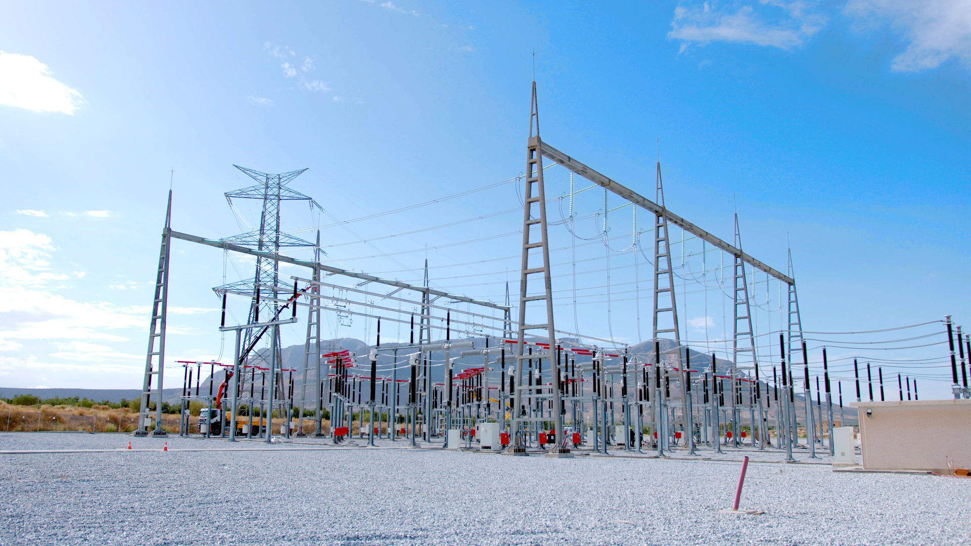
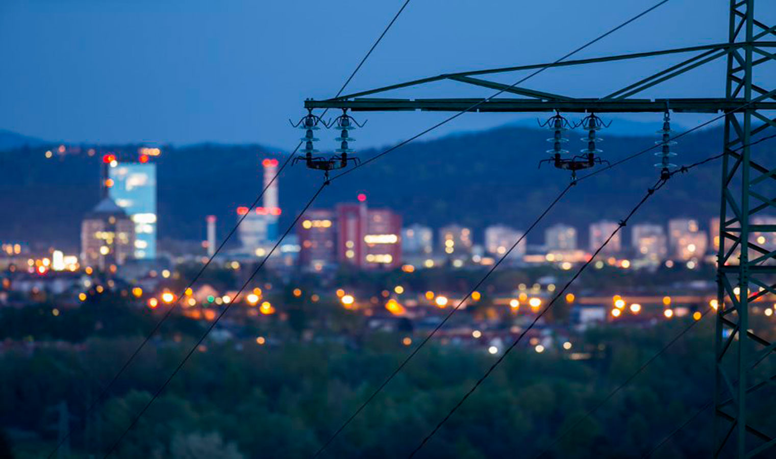
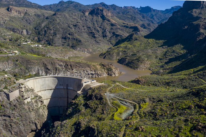
Selection and design of new sub-stations
When it comes to choosing the placement of new sub-stations, we always follow a similar plan, using a meticulous process to define the more favourable areas and, within these, to specify the implementation and access. These issues must also be approved by the Environmental department.
With the information from the territorial diagnosis, our expert environmental consultants will study the three alternatives and choose the one with the least impact.
From this point, we will design preventive and corrective measures and finally evaluate the environmental impact to compensate any residual impacts on biodiversity .