Discover what Red Eléctrica is, what we do, and why we are the backbone of the electricity system in Spain and the ecological transition.


The second Peninsula-Balearic Islands link begins public consultation to define a project based on consensus with society
Any changes to the land route agreed upon by the working group established at the end of July between institutions, local residents, and Red Eléctrica, will be formalised in this public information and environmental evaluation phase.
The second link is a strategic project for the Balearic electricity system: it will improve the quality of supply, cover an average of 65% of the archipelago's total annual demand, and prevent the emission of 905 kt of CO2 per year.
19/09/2024
The project for the second electrical interconnection between the Spanish mainland and the Balearic Islands is now open to public consultation and administrative and environmental evaluation. The aim is to follow a consensus approach to find the best technical, social, and environmental solution.
The second link between the Peninsula and the Balearic Islands is a strategic project for the Balearic electricity system as a whole, since all its islands are currently interconnected. It will significantly improve the quality of supply, advance the goals of the ecological transition, and reduce dependency on fossil fuels in the archipelago's electrical generation system.
As part of the public consultation now beginning —overseen by the Directorate General of Energy Policy and Mining of the Ministry for the Ecological Transition and Demographic Challenge—, the preliminary proposal by Red Eléctrica will be submitted for processing and evaluation.
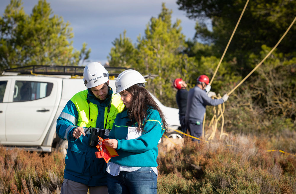
Any changes agreed upon during this process by the working group —established on July 29 by the Ministry for the Ecological Transition and Demographic Challenge, the Government of the Balearic Islands, Alcudia City Council, the Mallorca Council, the Residents' Platform, and Red Eléctrica to develop an optimal land route that is socially, technically, and environmentally viable— will be included.
Additionally, as mandated by law, any relevant contributions from administrations, institutions, organisations, and individuals may be submitted during the public consultation phase.
Thus, the project that will ultimately be submitted for evaluation and final approval will be the result of the consensus reached by the working group and other contributors.
The initial proposal, formulated by Red Eléctrica after an exhaustive analysis of different land routes and up to 13 landing alternatives for the link in Mallorca —five proposed by Red Eléctrica and eight suggested by the Balearic Government, Mallorca Council, and Alcudia City Council since 2021— will serve as the starting point.
The project under environmental and administrative evaluation and processing includes, on the one hand, the landing proposal in the Sa Ferradura area, between the bays of Alcudia and Pollença, given its lack of impact on the Posidonia oceanica EU habitat of community interest, and on the other, the location of the converter station in the industrial Na Lloreta area, which has already been developed and impacted by human activity, and very close to the existing Sant Martí 220/66 kV sub-station.
Regarding its land route, there is agreement on the desirability to incorporate changes to prioritise a route that runs mainly along roads owned by the Mallorca Council.
Second Peninsula-Balearic Islands link: a strategic project
Included in the 2021-2026 Electricity transmission grid plan approved by the Council of Ministers, the second Peninsula-Balearic Islands link will more than double the benefits provided by the first interconnection, which has been in service since 2012. It will meet an average annual coverage of 65% of the demand of the Balearic electricity system and will reduce CO2 emissions per year by 905 kt, thanks to an increased integration of renewable energies into the Balearic electricity mix with maximum safety.
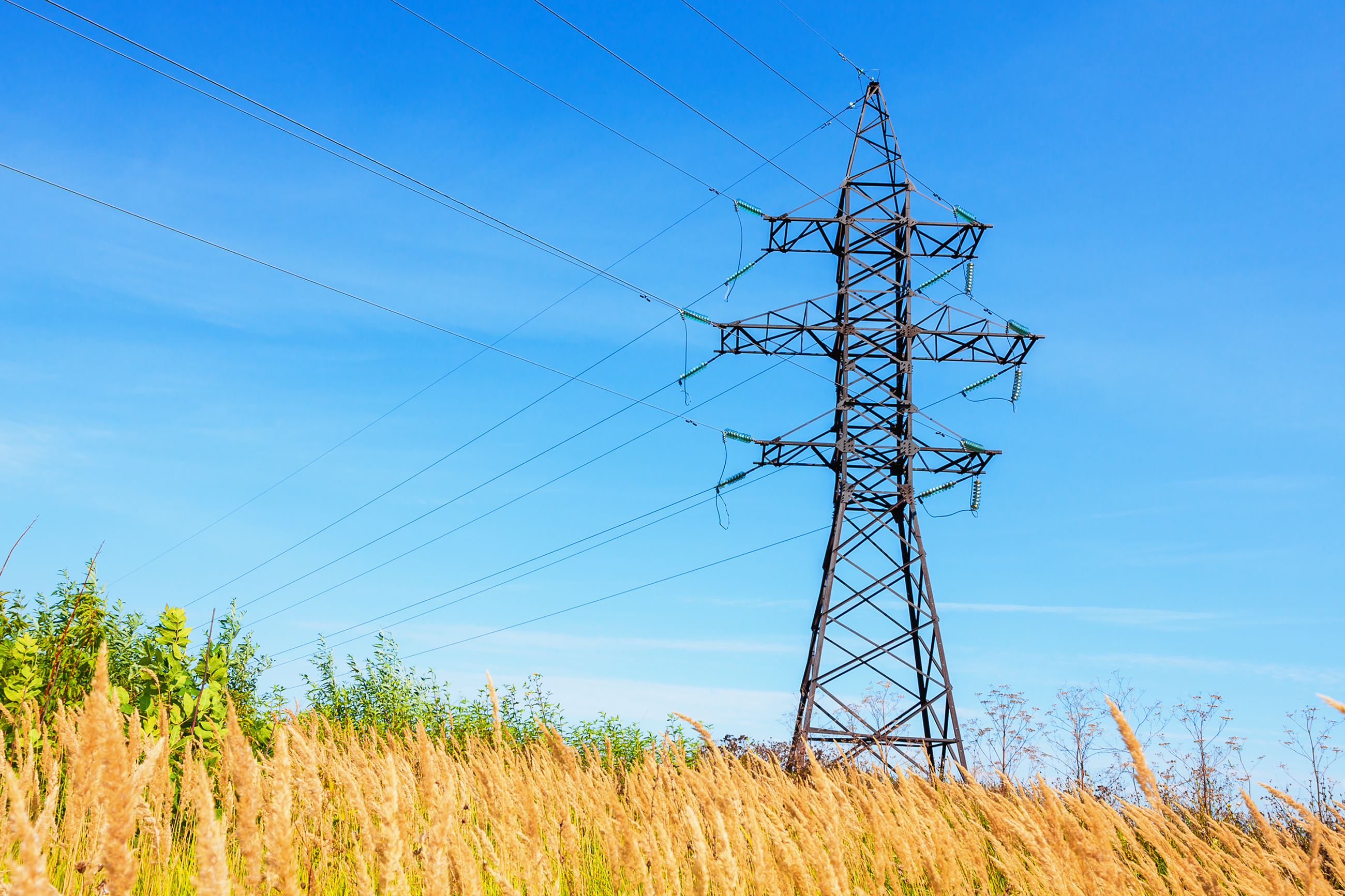
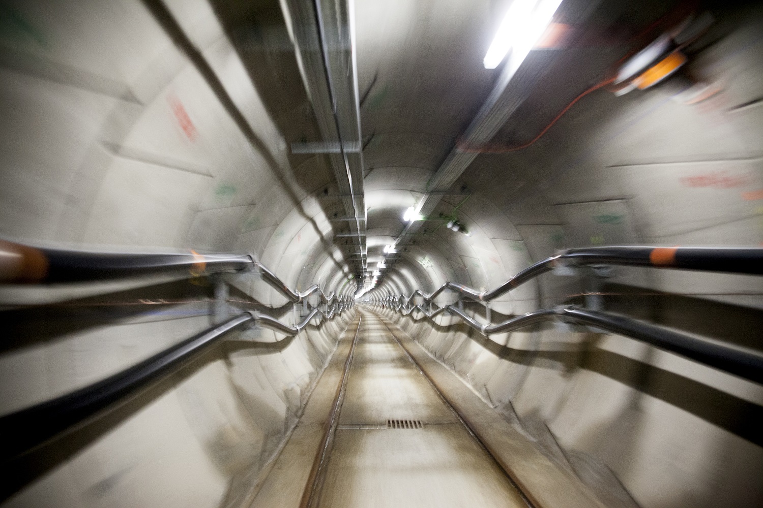
The future project will connect the Fadrell converter station in Castellón with the new Sant Martí converter station in Mallorca. It will consist of a 2*200 MW submarine-underground direct-current link with an approximate length of 400 kilometres, of which 390 km run under water and the rest underground.
Downloads